


North and Central Texas
Today and Tonight
Thunderstorms are possible across parts of North Texas overnight into early Friday morning. Strong or severe wind gusts are possible
across the Texoma region.
Saturday through Thursday
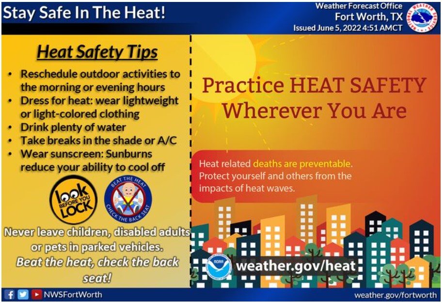
Expect exceptional heat on Saturday and Sunday, with temperatures between 100 and 108 degrees. Heat index values between 105 and 110 degrees or greater will be possible, especially on Saturday. Be diligent in practicing heat safety, and limit strenuous outdoor activity if possible.
SPOTTER INFORMATION STATEMENT
The NWS does not expect spotter activation at this time.
South Central and Southwest Arkansas, North Central and Northwest Louisiana, Southeast Oklahoma, and East and Northeast Texas
Today and tonight
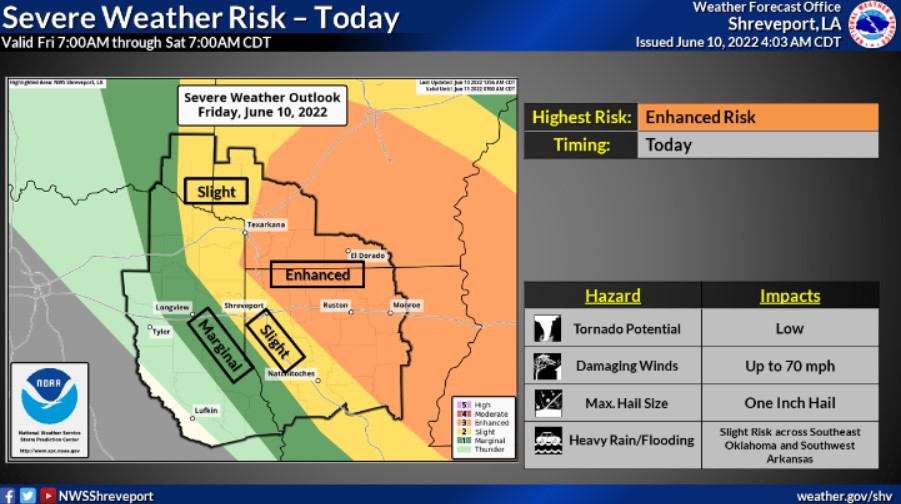
There will be a threat today of strong to severe thunderstorms across portions of the Four-State Region along and ahead of an upper-level disturbance moving south and east into the Middle Red River Valley. Damaging and strong wind gusts will be the main threat, but you can not rule out an isolated tornado and a significant hail threat. In addition, thunderstorms will produce locally heavy downpours with at least a minimal flash flooding threat, mainly across Southeast Oklahoma into portions of Southwest Arkansas.
The severe weather threat should dissipate this evening through the overnight hours.
Saturday through Thursday
The weather story will be the heat for the weekend through at least the middle of next week. The hottest temperatures thus far of the early summer season are expected across the entire Four-State region during this time frame, with triple-digit heat very likely across at least portions of Northeast Texas into Northern Louisiana. Heat Advisories may become necessary as early as this weekend with the heat building into the region.
SPOTTER INFORMATION STATEMENT
Activation of emergency management personnel, amateur radio operators and storm spotters will likely be needed today.