


North Texas
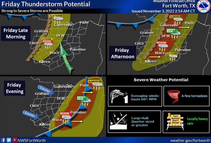
The next upper-level storm system and cold front will bring a good chance of thunderstorms across the region on Friday. The best storm potential looks to be Friday afternoon and evening. Some storms may be severe, with large hail, damaging wind gusts, and a few tornadoes all possible. The highest severe threat looks like areas along and east of the Interstate 35 corridor. Locally heavy rainfall may produce flooding in some areas. Showers and storms will push off to the east Friday night, leaving the weekend drier with cooler temps.
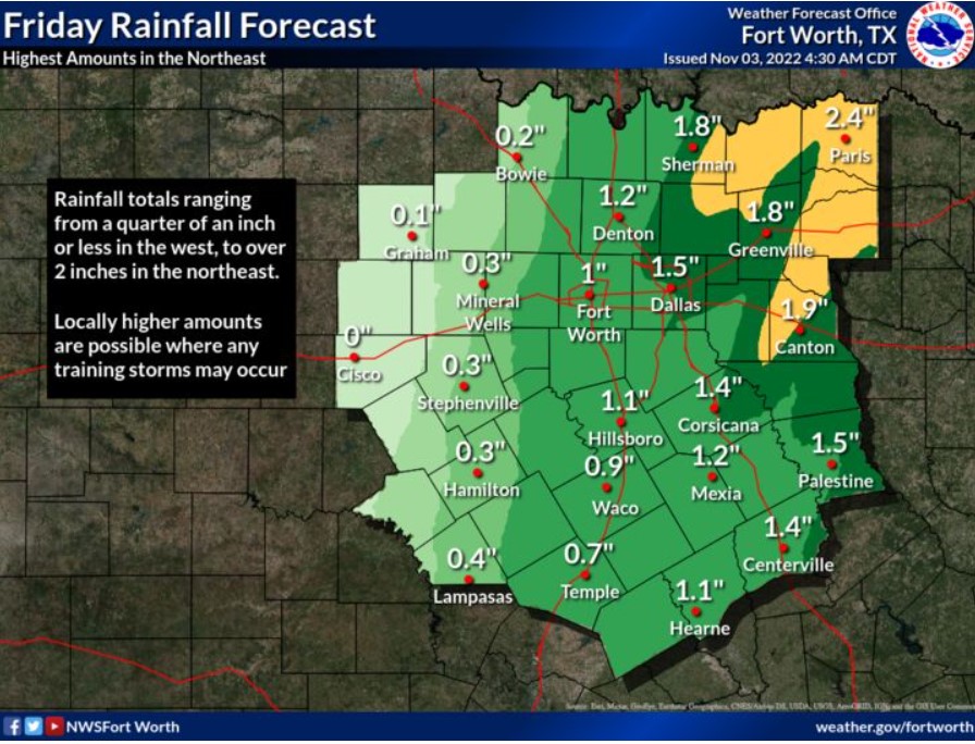
Rainfall totals on Friday should range from less than a quarter of an inch in the westernmost counties to 2 inches or more in the northeast. Expect locally higher amounts wherever any training showers or storms may occur.
Northeast Texas
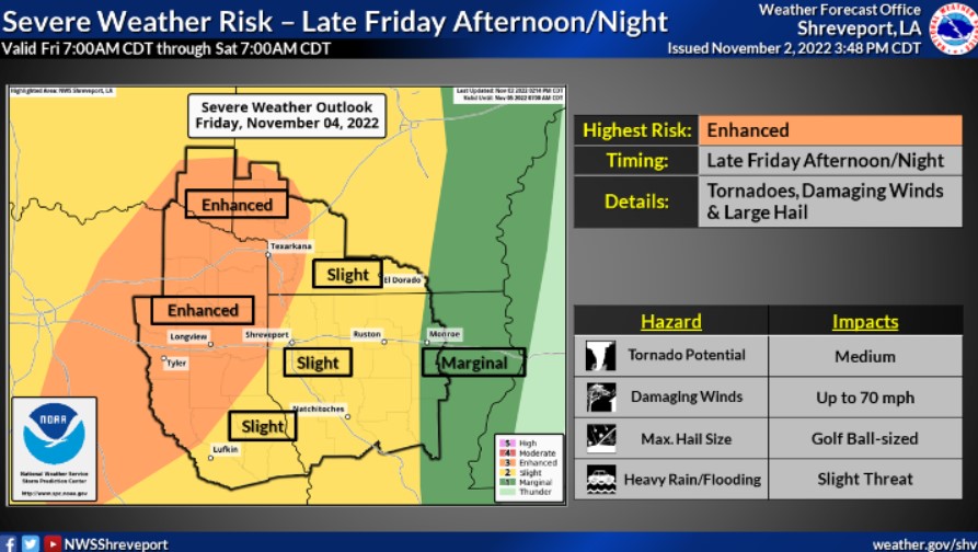
There will be a significant risk for strong to severe thunderstorms beginning late Friday Afternoon through Friday Night across most of the Four State Region. Damaging thunderstorm wind gusts and tornadoes, along with large hail, will be the main threats.