


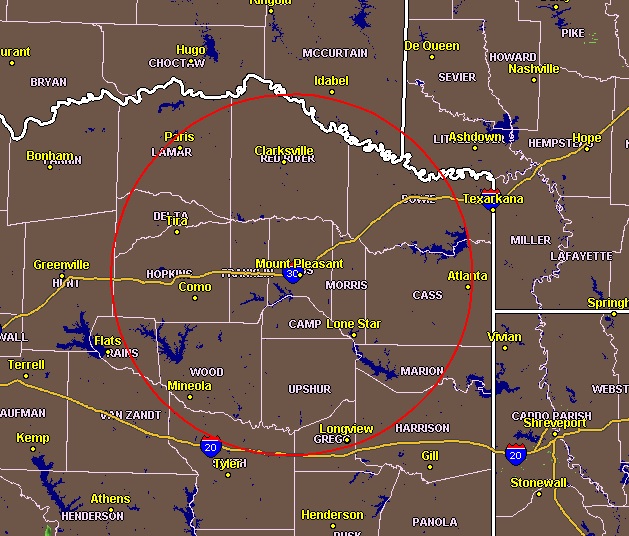
Radar 7:30 am Monday
Scattered to numerous showers and thunderstorms are expected this afternoon and through the evening once again as an upper-level low-pressure system slowly transitions across the region. Some of the stronger storms will be capable of producing brief heavy rainfall, gusty winds, and frequent lightning. Some isolated locations may experience localized flooding where the more torrential rainfall amounts
occur. However, the National Weather Service does not expect an organized threat of severe weather at this time.
For the rest of the week, you can expect scattered thunderstorms possible through Tuesday as the upper trough advances on the south of the region. A few stronger storms will still be possible. There is no organized threat of severe weather at this time.
Activation of emergency management personnel, amateur radio operators and storm spotters are not needed through tonight.