


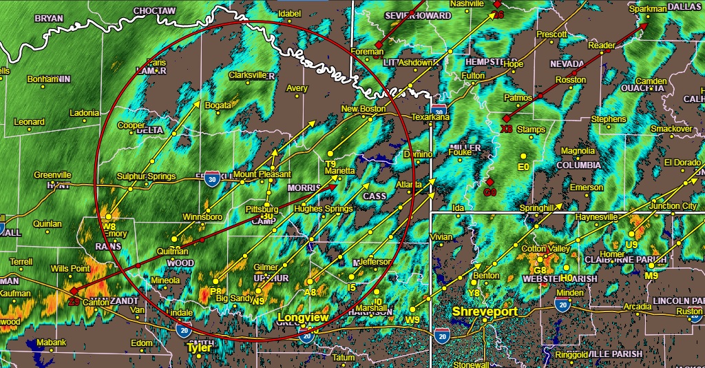
Radar Saturday 7:50 am
Periods of showers with a few embedded thunderstorms will continue to develop and spread east across extreme Northeast Texas, Southeast Oklahoma, and Southwest Arkansas today, ahead of an upper-level disturbance that will approach the region from the west later today. Brief heavy rainfall will be possible with the
stronger showers and embedded storms, which may result in minor flooding of low lying, weak drainage areas. These showers and embedded storms will diminish from west to east late this afternoon through this evening with the departure of this disturbance.
Scattered thunderstorms will affect most of North Texas mainly during the morning hours. Locally heavy rainfall which may cause some minor flooding and frequent lightning will be the main threats. The strongest storms could produce some small hail. Areas of fog are expected to develop late tonight mainly west of I-35.
Sunday through Friday…
Areas of fog will impact areas mainly west of I-35 through the early
morning hours. Thunderstorm chances return late Monday and continue into Wednesday. The severe weather potential looks low with this system although some locally heavy rainfall could cause some minor flooding issues. No hazardous weather is expected for Northeast Texas.
.SPOTTER INFORMATION STATEMENT…
Activation of emergency managers, spotter networks, and amateur
radio operators, should not be needed today or tonight.