


Today and Tonight
This Hazardous Weather Outlook is for North and Central Texas.
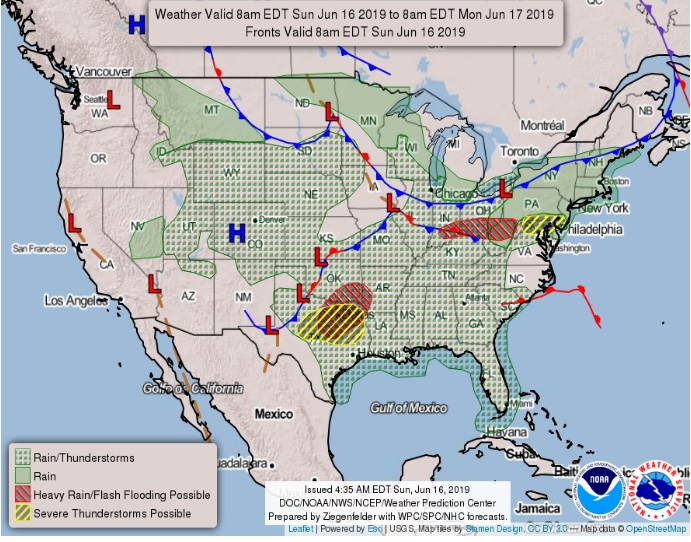
Thunderstorm chances will increase again across all of North and Central Texas this afternoon and evening and continue into the overnight hours. Some could be severe with initial storms containing a hail and wind threat. Later this evening, damaging winds will be the main threat. Heavy rainfall and localized flooding will be a threat through tonight.
This Hazardous Weather Outlook is for portions of South Central Arkansas, Southwest Arkansas, North Central Louisiana, Northwest Louisiana, Southeast Oklahoma, East Texas, and Northeast Texas.
Showers and thunderstorms are expected to increase later this morning through the afternoon across Lower East Texas, much of North Louisiana, and South Central Arkansas, near a surface boundary progressing Southeast into these areas from a decaying complex of showers and thunderstorms early this morning. Excessive daytime heating within a very moist air mass in place will contribute to strong instability this afternoon. That means some of these storms may become severe near and south of Interstate 20 across Lower East Texas and North Louisiana, with damaging winds, and locally heavy rainfall possible. While these storms should push out of the area late this afternoon, additional showers and thunderstorms are expected to redevelop by late afternoon through this evening over portions of North Texas and Southern Oklahoma, which should gradually progress east southeast into Southeast Oklahoma, Northeast Texas, and adjacent sections of Southwest Arkansas later tonight. There will be the potential for at least isolated severe thunderstorms with damaging winds to develop over these areas tonight, with the threat for locally heavy rainfall and localized flash flooding.
Monday through Saturday
Thunderstorm chances will continue Monday through Wednesday, but coverage of storms is expected to be more scattered. The strongest storms could produce damaging winds. Locally heavy rainfall and frequent lightning will also be threats.
East of I-35
Showers and thunderstorms will increase once again across the region Monday, as an upper-level trough slowly progresses east across the area. An isolated severe thunderstorm threat cannot be ruled out Monday, with damaging winds and locally heavy rainfall possible. Localized flash flooding will be possible as well where storms producing heavy rain continue to move repeatedly over the same areas. While these showers and thunderstorms should diminish Monday night, additional scattered showers and thunderstorms will be possible across the region Tuesday and Wednesday, with some of the stronger storms producing locally gusty winds and brief heavy rainfall. The approach of another upper-level disturbance over Oklahoma and the Red River Valley late Wednesday will result in scattered to numerous showers and thunderstorms over portions of extreme Northeast Texas, Southeast Oklahoma, Southwest Arkansas, and parts of the I-20 corridor of North Louisiana Wednesday night and Thursday morning, before diminishing from west to east Thursday afternoon.
SPOTTER INFORMATION STATEMENT
Activation of emergency managers, spotter networks, and amateur radio operators may be needed later today through tonight across the region.