


North and Central Texas.
Monday Night
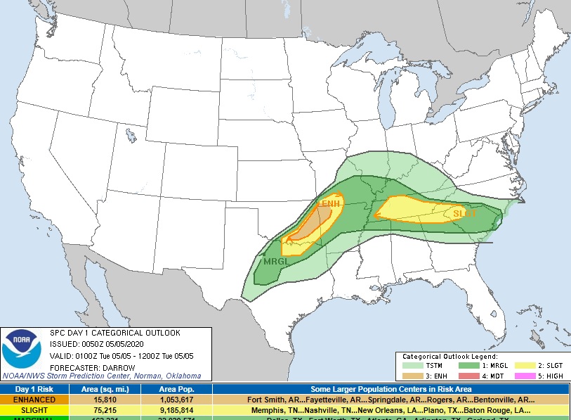
Expect thunderstorms to move into North Texas along a cold front tonight. A few storms could be severe with hail and damaging winds, with the most significant threat near and north of US Highway 380.
The most likely time for intense/severe storms will be between 8;00 pm and 11:00 pm. Any thunderstorms should gradually diminish as they move towards the I- 20 corridor late tonight.
Tuesday through Sunday.
Isolated storms are possible Tuesday over Central Texas with the passage of a cold front. While severe weather is low, a few storms could contain small hail.
Additional thunderstorms are possible Thursday night and Friday with the arrival of another cold front. Though some of these storms may be strong, severe weather is unlikely at this time.
SPOTTER INFORMATION STATEMENT
Limited spotter activation may be requested north of the I-20 corridor this evening.