


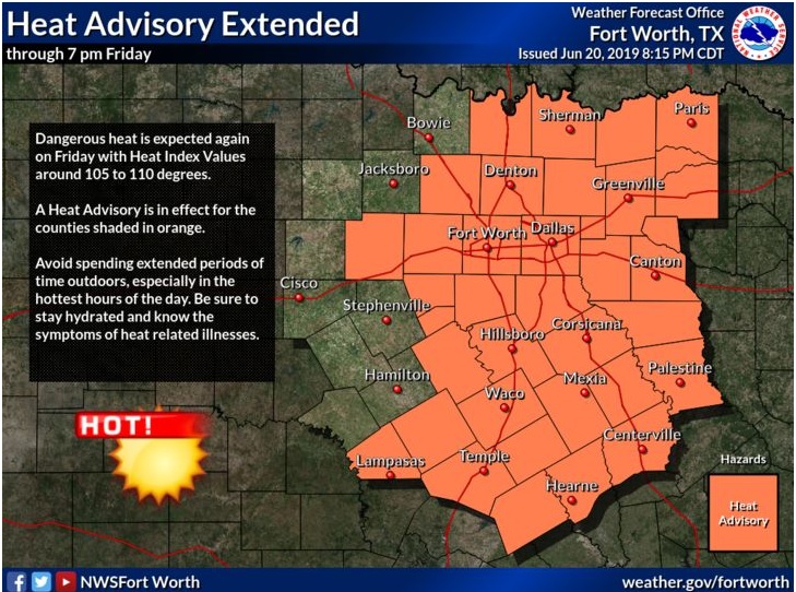
Heat Advisory Until 7:00 pm
The temperature today will be between 94 and 98, and the heat index will be between 105 and 110. This can cause heat exhaustion or stroke if individuals and pets are not adequately cooled or hydrated.
A Heat Advisory means that afternoon heat index values are expected to meet or exceed 105 degrees for at least two
consecutive days.
Be sure to check on persons with health problems and the elderly, as they are the most susceptible to heat exhaustion and heat stroke. Never leave young children or pets in an enclosed vehicle, even for a short time, as temperatures can quickly rise to life-threatening levels.
Take extra precautions if you work or spend time outside. When possible, reschedule strenuous activities to early morning or evening. Know the signs and symptoms of heat exhaustion and heat stroke. Wear light-weight and lose fitting clothing when possible, and drink plenty of water.
To reduce risk during outdoor work, the occupational safety and health administration recommends scheduling frequent rest breaks in shaded or air-conditioned environments. Anyone overcome by heat should be moved to a cool and shaded location. Heat stroke is an emergency. call 911.
This also includes the NWS Shreveport areas for temperatures reaching a heat index of 105 to 110 degrees this afternoon and evening. The combination of temperatures and relative humidity values and a pressure gradient tightening over portions of Northeast Texas this morning and afternoon will result in winds of 15 to 20 mph with locally higher gusts.
Saturday through Thursday
Scattered showers and thunderstorms are expected to increase
Sunday across the region and persist through much of next week, as a series of upper-level disturbances move into the area. Some storms may become severe Sunday evening into Monday morning, especially along and near the I-30 corridor, with large hail, damaging winds, and isolated tornadoes all possible.
SPOTTER INFORMATION STATEMENT
Activation of emergency management personnel, amateur radio operators, and storm spotters will not be needed through tonight.