


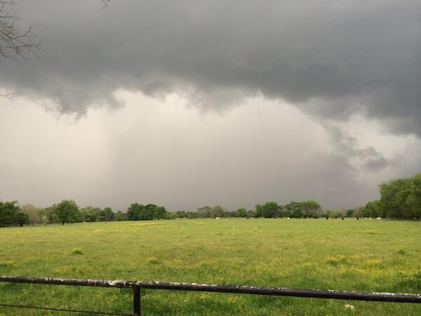
Weather for today is taking shape this morning as intense convection is already ongoing out across Northwest Texas with more tame activity farther east across the region. That will change as the upper trough continues shifting eastward across the plains today with robust short wave energy beginning to pivot around the base of the channel driving the strong to severe storms south of the Red River in Northeast Texas ahead of a cold front and dry line over the Panhandle. These features will continue working eastward as south-southeast winds ramp up in response to the advancing low pressure across Kansas. The surge in Gulf moisture, combined with increasing instability will be ample ingredients for the development of severe storms across the region later today and tonight. Almost all of our area is in the enhanced or slight risk categories with the full gamut of threats in play including isolated tornadoes. The storm mode is still a bit in question, but you can anticipate seeing possibly super cellular storms. This will be later this afternoon and evening hours. The severe threat will gradually diminish from west to east overnight into Tuesday morning as the trough ejects across the Mid-Mississippi Valley. There is also a chance of Lake Wind Advisory in effect from now through 7:00 pm.
Unsettled weather still remains in the forecast for much of this week as small disturbances move through the upper flow pattern. By Thursday, a cold front will advance southward into northeast Texas with rain chances increasing through early Friday. A brief dry spell looks to last through much of Friday and possibly part of Saturday. Another cold front will bring a chance of showers and thunderstorms back into the forecast over the weekend. Expect temperatures to run near or slightly above normal for over much of the upcoming week with the warmest temperatures expected Tuesday and Wednesday when cloud cover and rain chances will be a bit lower behind the departing upper trough and ahead of the cold front expected Thursday.