


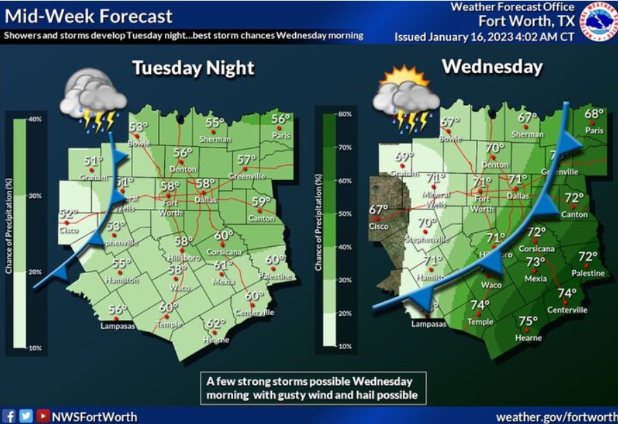
A low-pressure system and cold front will enter the region Tuesday night and move quickly east on Wednesday. Showers and some thunderstorms will accompany the cold front, with the best chances east of I-35 Wednesday morning. Hail, gusty winds, and a few strong to marginally severe storms will be possible. Lows Tuesday night will be in the 50s and lower 60s. Highs Wednesday will range from the mid-60s in the west to the mid-70s in the southeast.
Monday through Saturday.
Thunderstorm chances return late Tuesday night and increase Wednesday morning, especially across eastern Central Texas, where a few strong to severe storms with hail and gusty winds will exist.
Due to breezy, warm, and dry weather, elevated fire weather conditions return to areas west of I-35 on Wednesday and Friday afternoons. Areas west of US-281 will see the driest conditions and are most susceptible to fire starts.
SPOTTER INFORMATION STATEMENT
Do not expect spotter activation at this time.
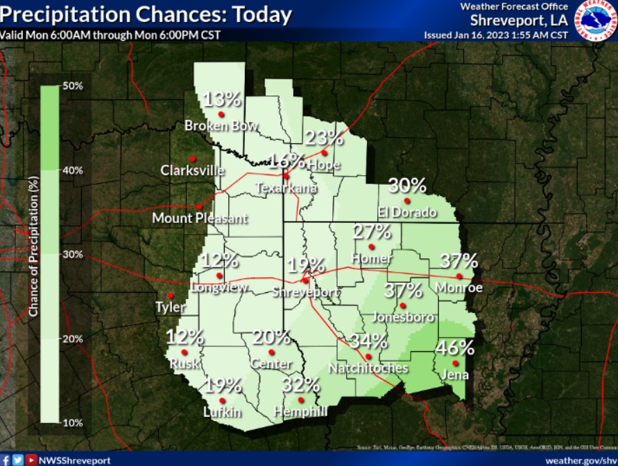
Scattered showers across Southern Arkansas, North Louisiana, and deep East Texas will be possible today.