


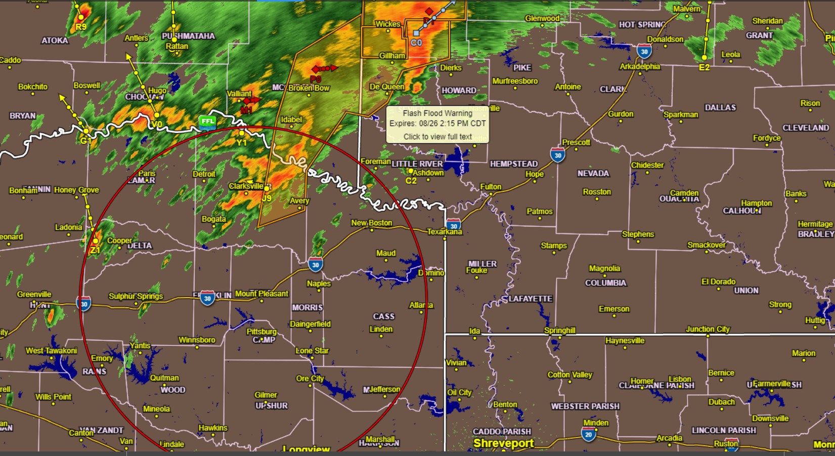
Radar 12:00 pm Wednesday
TROPICAL STORM WARNING REMAINS IN EFFECT
* LOCATIONS AFFECTED
– Mt Pleasant
* WIND
– LATEST LOCAL FORECAST: Below tropical storm force wind
– Peak Wind Forecast: 20-30 mph with gusts to 35 mph
– THREAT TO LIFE AND PROPERTY THAT INCLUDES TYPICAL FORECAST
UNCERTAINTY IN TRACK, SIZE, AND INTENSITY: Potential for wind 39 to 57 mph
– The wind threat has remained nearly steady from the
previous assessment.
– PLAN: Plan for hazardous wind of the equivalent tropical storm
force.
– PREPARE: Remaining efforts to protect property should be
completed as soon as possible. Prepare for limited wind
damage.
– ACT: Move to safe shelter before the wind becomes hazardous.
– POTENTIAL IMPACTS: Limited
– Damage to porches, awnings, carports, sheds, and unanchored mobile homes. Unsecured lightweight objects could blow around.
– Many large tree limbs could break off. A few trees snapped or uprooted, but with more significant numbers in places where trees are shallow-rooted. Some fences and roadway signs could blow over.
– A few roads impassable from debris, particularly within urban or heavily wooded places. Hazardous driving conditions on bridges and other elevated roadways.
– Scattered power and communications outages.
* FLOODING RAIN
– LATEST LOCAL FORECAST: Flash Flood Watch is in effect
– Peak Rainfall Amounts: Additional 2-4 inches, with locally
higher amounts
– THREAT TO LIFE AND PROPERTY THAT INCLUDES TYPICAL FORECAST
UNCERTAINTY IN TRACK, SIZE, AND INTENSITY: Potential for major
flooding rain
– The flooding rain threat has remained nearly steady from
the previous assessment.
– PLAN: Emergency plans should include the potential for
major flooding from heavy rain. Evacuations and rescues are
likely.
– PREPARE: Strongly consider protective actions, especially if you are in an area vulnerable to flooding.
– ACT: Heed any flood watches and warnings. Failure to take action will likely result in severe injury or loss of life.
– POTENTIAL IMPACTS: Extensive
– Major rainfall flooding may prompt many evacuations and rescues.
– Rivers and tributaries may rapidly overflow their banks in multiple places. Small streams, creeks, canals, arroyos, and ditches may become dangerous rivers. In mountain areas, harmful runoff may dash down valleys while increasing susceptibility to rockslides and mudslides.
Flood control systems and barriers may become stressed.
– Floodwaters can enter many structures within multiple communities, some facilities becoming uninhabitable or washed away—many places where flood waters may cover escape routes. Streets and parking lots become rivers of moving water with underpasses submerged. Driving conditions become dangerous. Many road and bridge closures with some weakened or washed out.
* TORNADO
– LATEST LOCAL FORECAST:
– The situation is unfavorable for tornadoes
– THREAT TO LIFE AND PROPERTY THAT INCLUDES TYPICAL FORECAST
UNCERTAINTY IN TRACK, SIZE, AND INTENSITY: Tornadoes not expected
– POTENTIAL IMPACTS: Little to None
– Little to no potential impacts from tornadoes.
* FOR MORE INFORMATION:
– http://ready.gov/hurricanes