


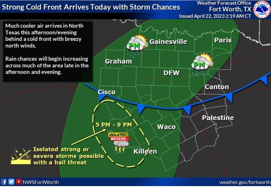
A strong cold front will arrive this afternoon, bringing much cooler air into North Texas. Isolated solid or severe storms may develop near the southwestern counties across the Hill Country late this afternoon, which could pose a hail threat. Additional chances for rain showers will exist farther east into the I-35 corridor by the evening.
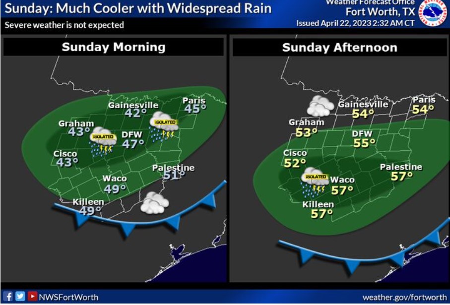
Expect widespread rain on Sunday with high temperatures in the 50s. There will be some breaks in the shower so that the entire day won’t be a complete washout. Expect no severe weather, and rainfall’s light/moderate nature should limit any flooding potential.
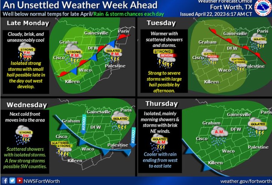
By midweek, periodic disturbances, moisture, and another cold front will keep the weather unsettled and even stormy late Monday through Tuesday. Well-below average temperatures for late April are expected, with a few intense storms with small hail possible late Monday and Monday night, with an increasingly severe weather threat for all but East Texas areas Tuesday. A few fierce storms may occur before the next cold front arrives on Wednesday. Rain ends from west to east later Thursday, with nice weather for the end of the week!
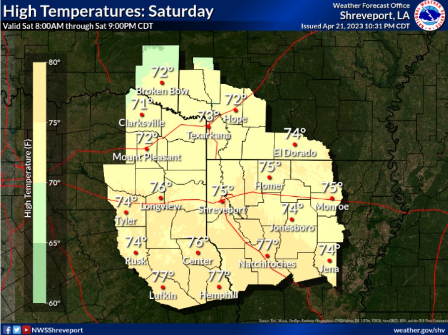
Beautiful start to the weekend with highs near average for late April in the low to mid-70s. Winds will be light and variable early, becoming SE 5-10 mph before lunch.