


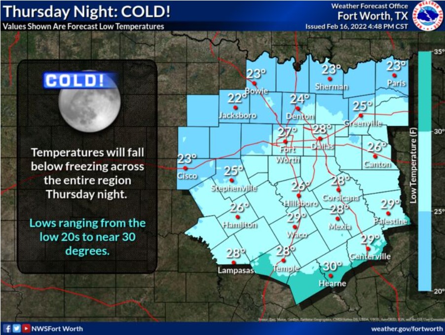
North and Central Texas
Today and Tonight
Isolated storms are possible this morning, mainly east of I-35 and north of I-20. Severe weather appears unlikely at this time, but
some storms may be strong with gusty winds and small hail.
Friday through Wednesday
There is a chance of storms on Monday and Tuesday. There is a low potential for severe weather mainly over areas east of the I-
35 corridor. Elevated fire weather conditions will return to the western parts of the region this weekend.
SPOTTER INFORMATION STATEMENT
The NWS does not expect the activation of spotters at this time.
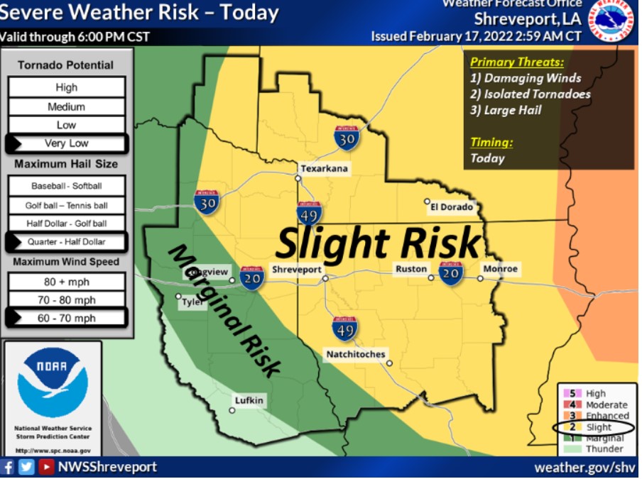
South Central and Southwest Arkansas, North Central and Northwest Louisiana, Southeast Oklahoma, and East and Northeast Texas
Today and Tonight
A Wind Advisory remains in effect from 6:oo am to 6:00 this evening across Northwest Louisiana, Southwest Arkansas, and East and Northeast Texas. Southerly winds of 15 to 25 mph this morning will become northwesterly winds with gusts up to 40 mph, creating rough waves on area lakes and hazardous conditions for small craft.
Showers and thunderstorms will increase once again after daybreak on Thursday as a robust storm system pushes across the Four-State
Region. These thunderstorms have the chance of becoming strong to severe throughout the day. At this time, all modes of severe weather are considered possible, including damaging winds, large hail, and isolated tornadoes.
Friday through Wednesday
Forecasters anticipate no other hazardous conditions through Sunday. Showers and thunderstorms return overnight on Sunday, with severe weather possible on Monday. Additional chances for showers and thunderstorms will remain through Wednesday.
SPOTTER INFORMATION STATEMENT
The NWS will not need to activate emergency management personnel, amateur radio operators, and storm spotters through tonight.