


North and Central Texas
Tonight
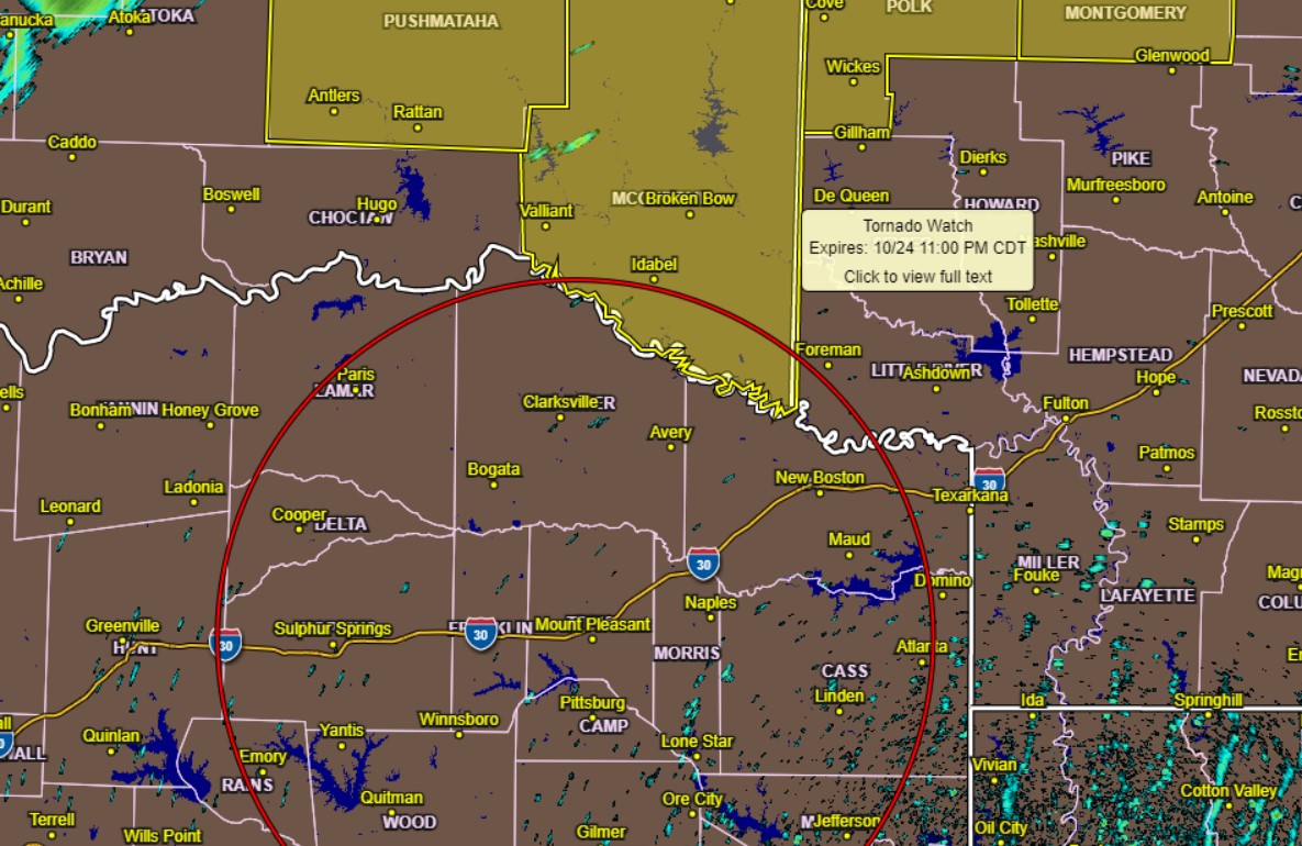
There is a low risk for an isolated storm or two tonight, mainly across Northeast Texas. However, the NWS does not expect severe weather, and gusty winds and lightning will be the primary hazards.
Monday through Saturday
A line of severe thunderstorms will be possible Tuesday night into early Wednesday morning along an eastward-moving cold front. Damaging winds will be the main threat, but isolated spin-up tornadoes and large hail will also be possible. The danger for severe storms will
end Wednesday morning as storms move into East Texas. You can expect windy conditions on Thursday and Friday at times
gusting more than 40 mph.
SPOTTER INFORMATION STATEMENT
The NWS does not expect spotter activation at this time.
North-Central and Northwest Louisiana, East and Northeast Texas.
Tonight
A weakening line of showers and thunderstorms will approach the I-20 corridor after midnight through early Monday morning. This
activity should not pose a severe threat, although gusty winds and brief heavy downpours are possible in extreme Northeast Texas and North Louisiana around I-20.
Monday through Saturday
Another round of strong to severe thunderstorms will be possible areawide Wednesday, as a strong cold front moves across the area.
At this time, it appears that all modes of severe weather will be likely with these storms through the day on Wednesday before the
threat diminishes on Wednesday night as the cold front departs to the east.
SPOTTER INFORMATION STATEMENT
The NWS will not require the activation of emergency management personnel, amateur radio operators, and storm spotters through tonight.