


There is the potential for some wintry precipitation next week. However, the most likely scenario is freezing rain to impact areas north and west of the Dallas/Fort Worth Metroplex. It could occur any morning from Monday through Thursday when chilly arctic air is in place. Expect cold rain expected elsewhere. The NWS will continue to assess ice accumulations and impacts as the event approaches.
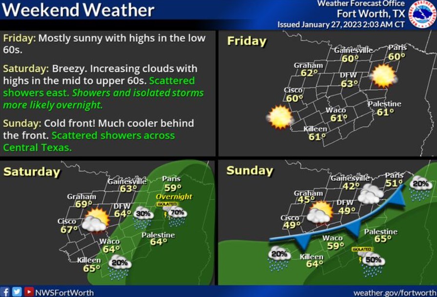
Warmer weather returns Friday and Saturday, with highs in the 60s, and Saturday is mostly cloudy and breezy, with scattered showers possible across East and Central Texas. Saturday night, showers and isolated storms become more widespread across East Texas. A cold front will move in overnight, bringing much cooler temperatures to North Texas Sunday.
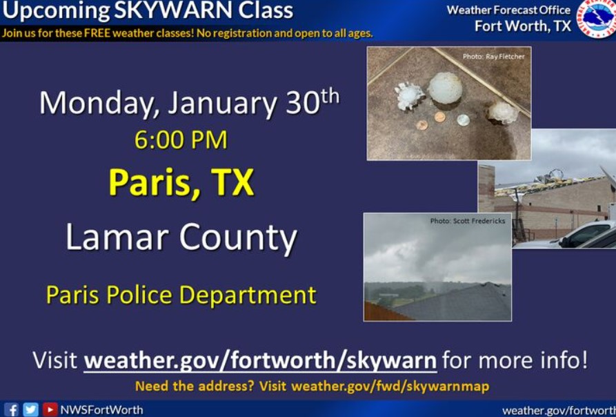
If you are interested in becoming a storm spotter, join us on Monday, January 30, for the Lamar County SKYWARN class! This class will be at the Paris Police Department. The course starts at 6:00 pm and is free and open to anyone who would like to attend. If you can’t make this class, feel free to join any of the NWS’ other courses that we’ll be offering this SKYWARN season. You can find the full schedule and additional details by visiting weather.gov/fwd/skywarnmap!